Skip to content

Discover the islandNatural beach · 2.7 km from the lighthouse to the Punta

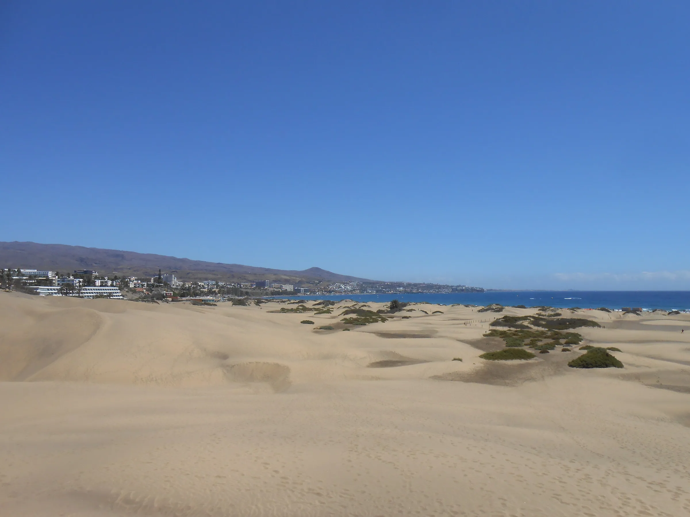
Maspalomas Beach

From the lighthouse to Punta de Maspalomas, 2.7 kilometres of golden sand with the dunes at your back and, just behind the shoreline, the Charca: a brackish lagoon that is Gran Canaria's most important wetland and a stopover for migrating birds. A wide, open beach with numbered kiosks, a naturist stretch and kiosk 7 as the LGBTQ+ meeting point.

Maspalomas Beach
Photo: dronepicr · CC BY 2.0

The beach

The town council measures it at 2,710 metres long and 55 wide on average, with a Blue Flag since 1990. Services (sunbeds, parasols, showers, kiosks with toilets) cluster at the lighthouse end, next to the promenade; the further you go towards the Punta, the more space and the fewer people. The naturist stretch is in the area the council calls La Punta or Cañada de la Penca, in front of the dunes, and surfers gather on the bend that links up with Playa del Inglés. The sea is usually calm, but this is the open Atlantic: respect the flags.

The Charca de Maspalomas

A couple of hundred metres from the lighthouse, between the beach and the palm grove, lies the Charca: about 4.3 hectares of water fed in turn by the ravine's floods and by the sea, a metre and a half deep on average, with a salinity that shifts with the seasons. The Cabildo calls it the island's most important wetland, and it belongs to the Special Nature Reserve and the Natura 2000 network. There is a bird hide on its western bank; on a good day more than twenty species can be counted, among them grey herons, little egrets, sanderlings, moorhens and coots, and now and then an osprey or a Barbary falcon. Watch from the walkway, without entering the water or the inner shore.

When to go

For the birds, first thing in the morning and, above all, in winter, when the Charca takes in the migrants; in May there is still plenty going on. For the beach, any time of day with sun protection: there is no natural shade. Sunset from the shore, with the lighthouse cut out against the sun, is the postcard everyone takes home.

Tips

  • Watch the Charca from the walkway and the hide: do not enter the water or walk its shore.
  • The kiosks have public toilets and are numbered: number 7 is the LGBTQ+ meeting point.
  • At low tide you can walk on the sand round the lighthouse to Meloneras beach.
  • Bring water and your own shade: between the lighthouse and the Punta there is nothing but the kiosks.
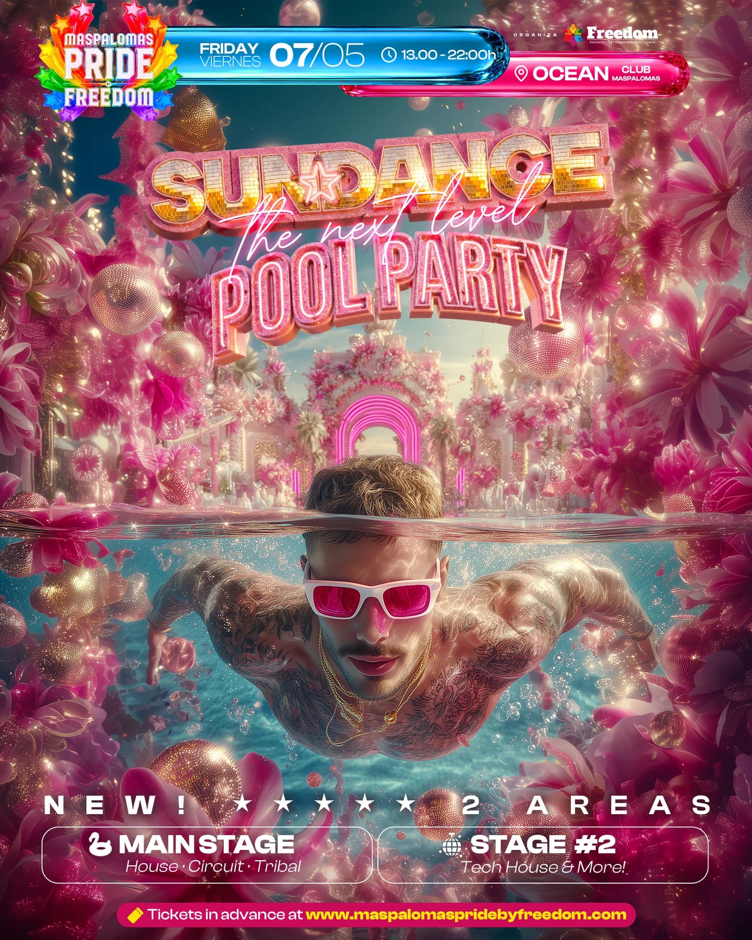
During Pride

Parties at Maspalomas Beach

Nearby

  • Maspalomas Lighthouse
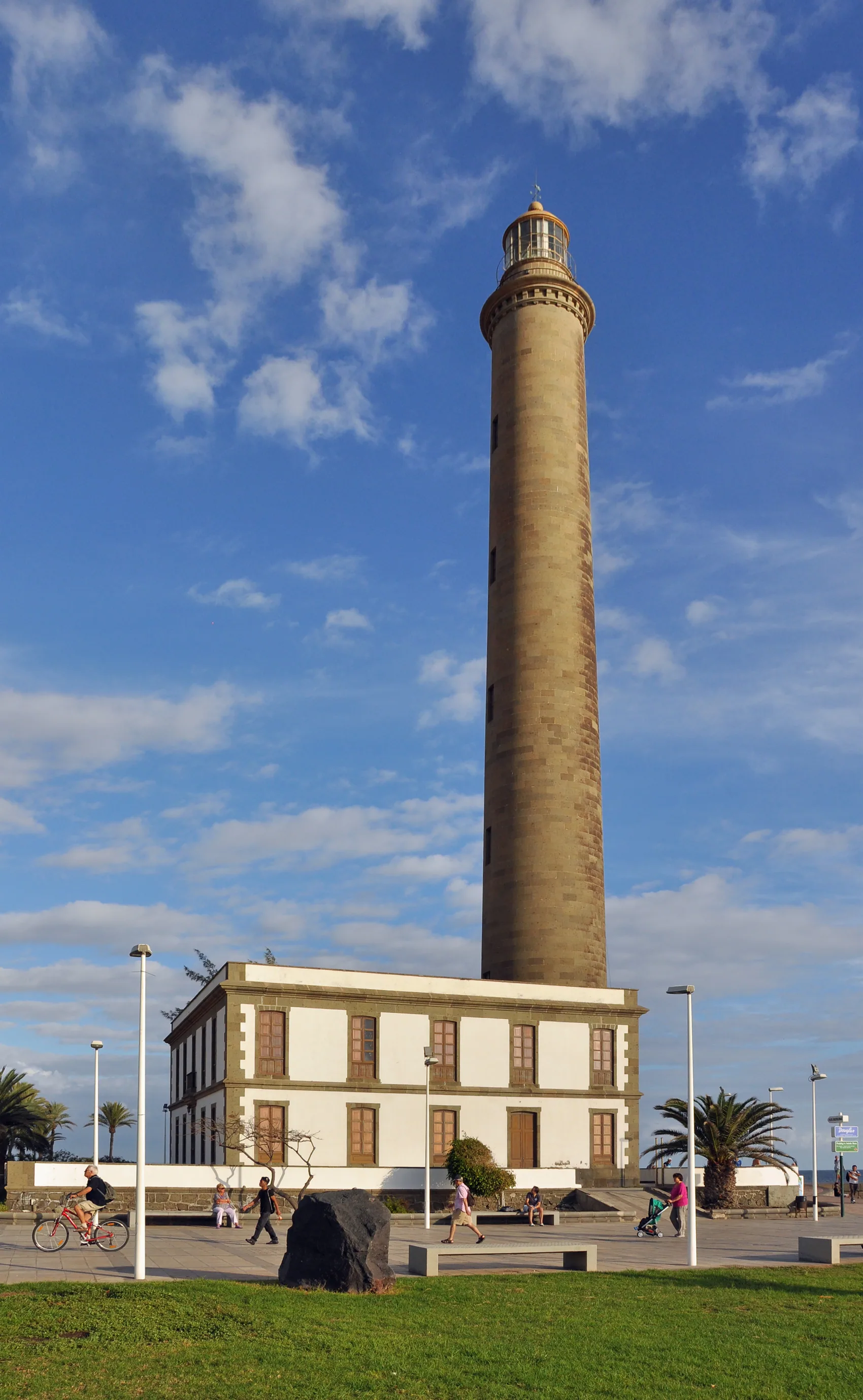
    Photo: Marc Ryckaert (MJJR) · CC BY 3.0

    Historic lighthouse · listed monument

    Maspalomas Lighthouse

    A tower of blue-grey ashlar almost 55 metres tall, marking the southern tip of Gran Canaria since 1 February 1890. Designed by the Telde-born engineer Juan de León y Castillo, it is still a working light, and the keepers' house at its base now holds an ethnographic centre and a tourist office. It is the hinge between Maspalomas beach and the Meloneras promenade.

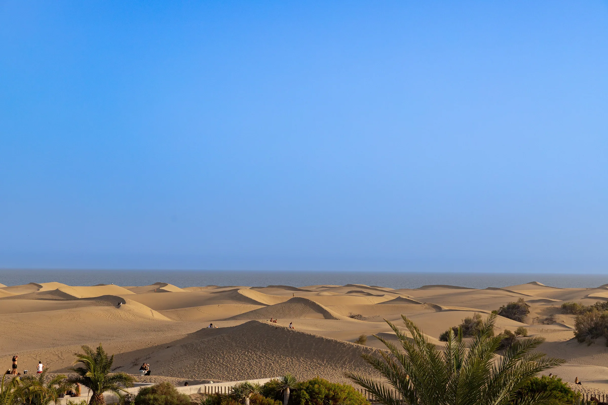
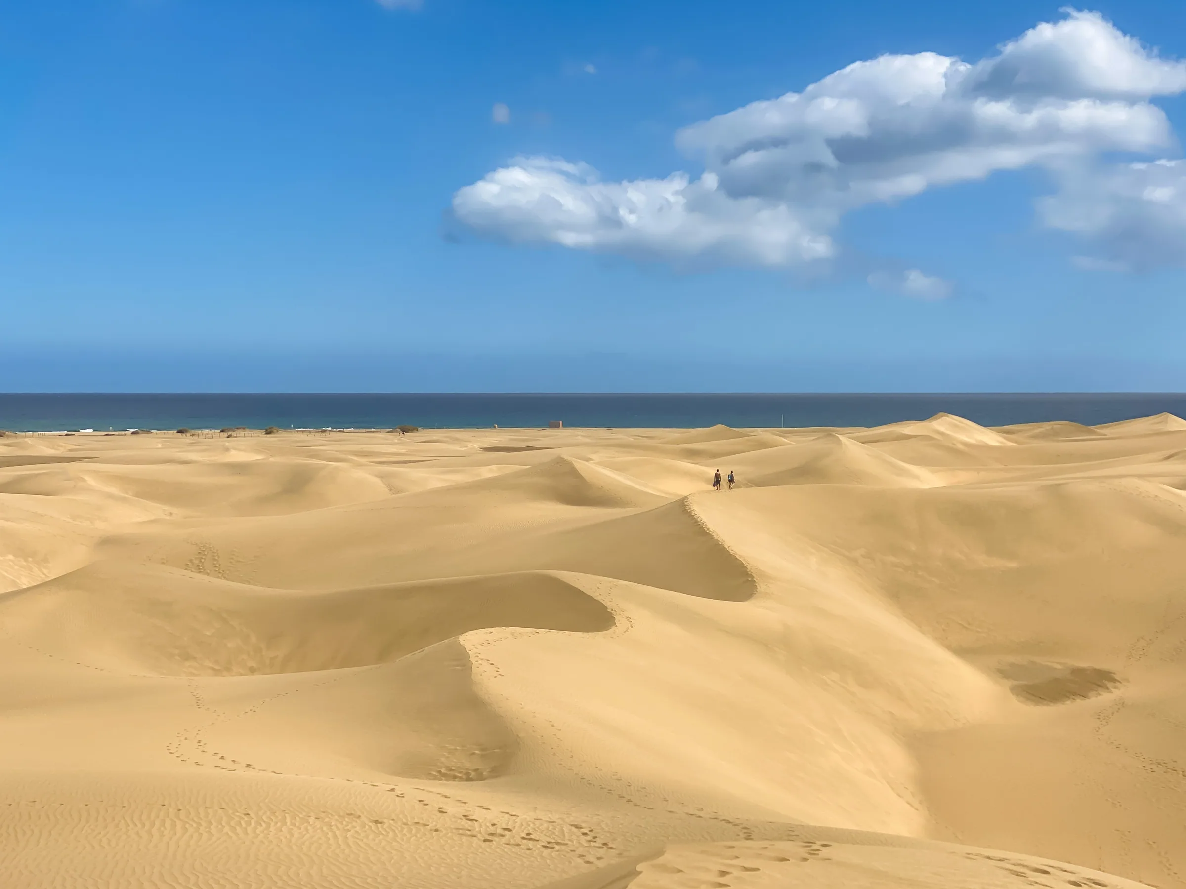
  • Maspalomas Dunes
    Photo: dronepicr · CC BY 2.0

    Special Nature Reserve

    Maspalomas Dunes

    A living field of sand, roughly 400 hectares between Playa del Inglés and the lighthouse: dunes the wind reshapes daily, a palm grove and a brackish lagoon where birds rest. It is a Special Nature Reserve and the backdrop to the whole festival. Walk it on the marked trails and along the shore; the moving dunes themselves are off limits.

  • Kiosk 7, "El Siete"
    Photo: Handelsgeselschaft · CC BY-SA 4.0

    LGBTQ+ beach · Playa de Maspalomas

    Kiosk 7, "El Siete"

    Kiosk number 7 on Maspalomas beach is the traditional meeting point of the LGBTQ+ community: a simple beach bar on the sand, between the ocean and the dunes. The Canary Islands tourist board calls this the LGBT beach par excellence. It is a public beach, nudism is customary along this stretch, and the only rule is the usual one: respect, for people and for the reserve.

Back to the guide
Sources