
How it formed, how it is protected
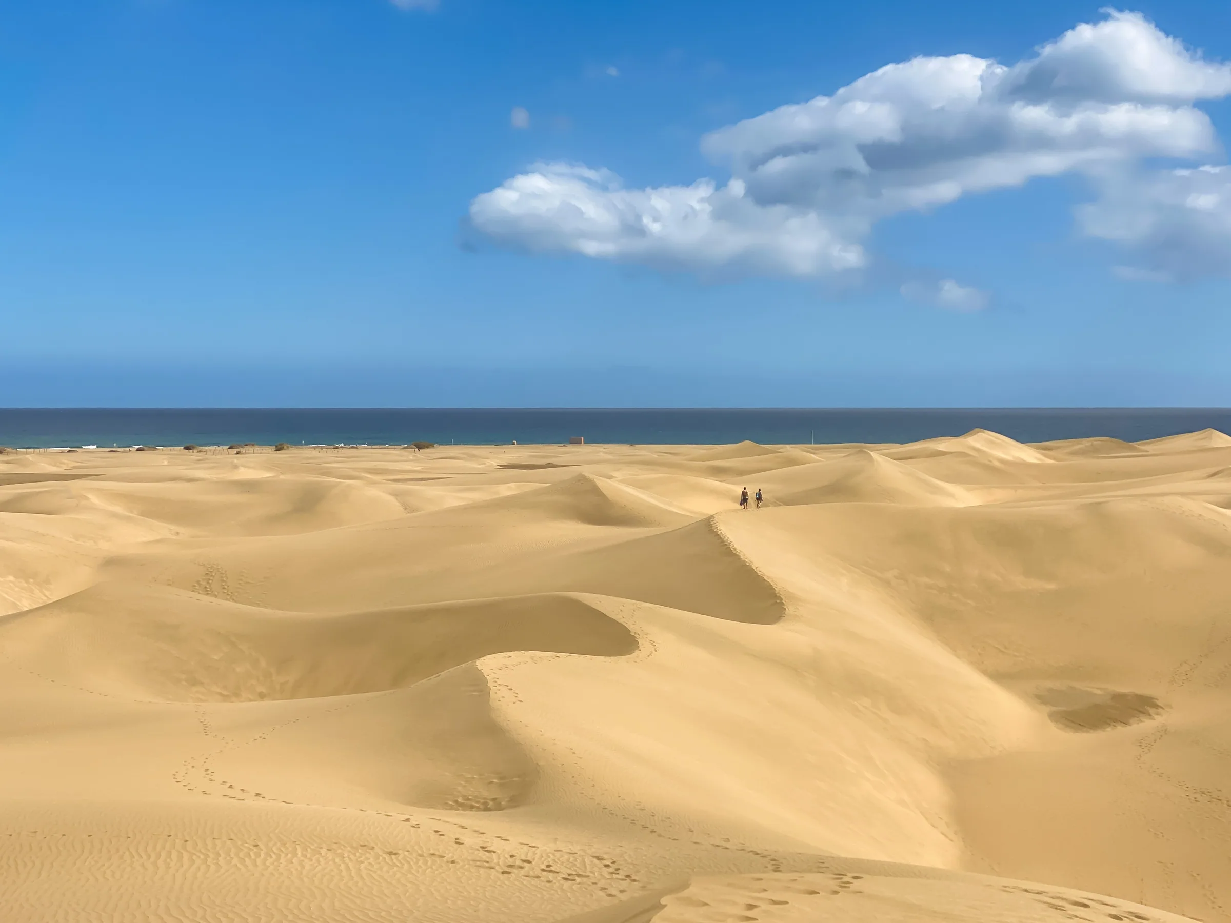
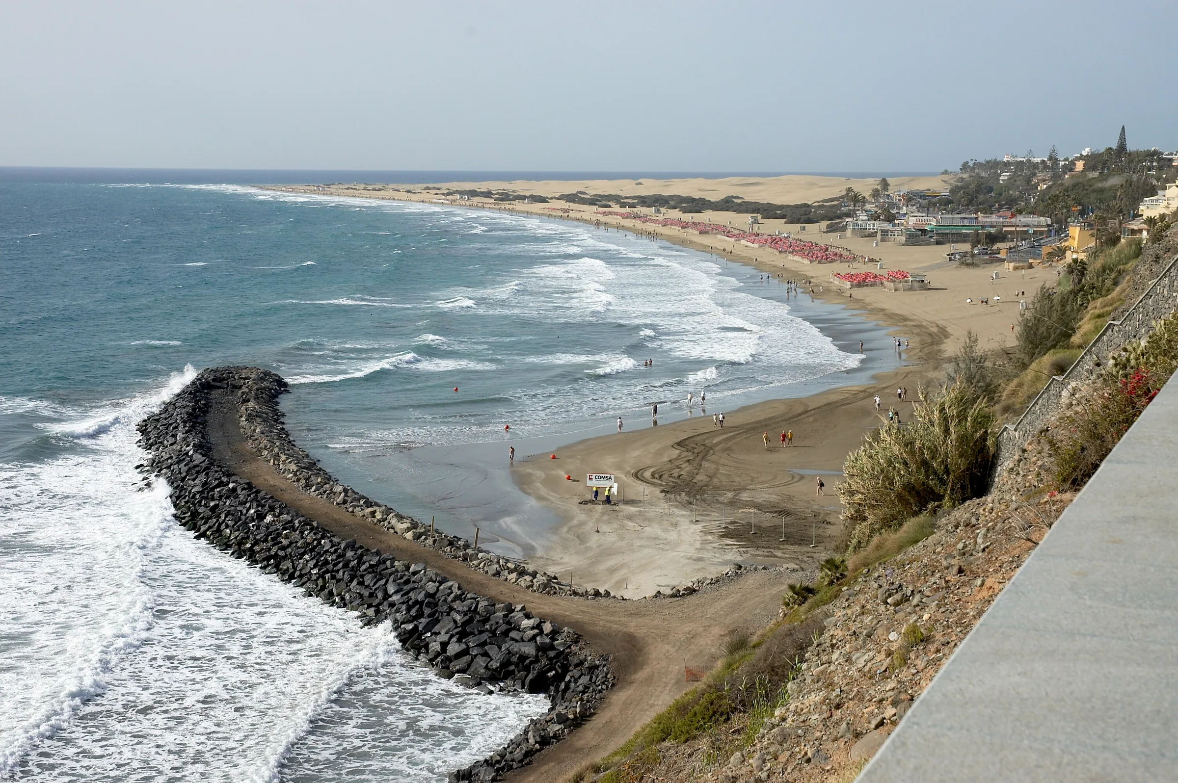
The Cabildo's own pages call this the only arid-climate dune field in Europe with wet hollows between its dunes, and the Charca the island's most important wetland. Protection came in stages: a Natural Site of National Interest in 1987, a Special Nature Reserve under the 1994 Canary Islands protected-areas law, and a Natura 2000 Special Area of Conservation with a management plan approved in 2016. The official listing gives it 403.9 hectares within the municipality of San Bartolomé de Tirajana. Since late 2018 the Masdunas project, run by the Cabildo and the town council, has been working to stem the loss of sand to the sea, which the island's tourism site puts at around 45,000 cubic metres a year.
What you will see
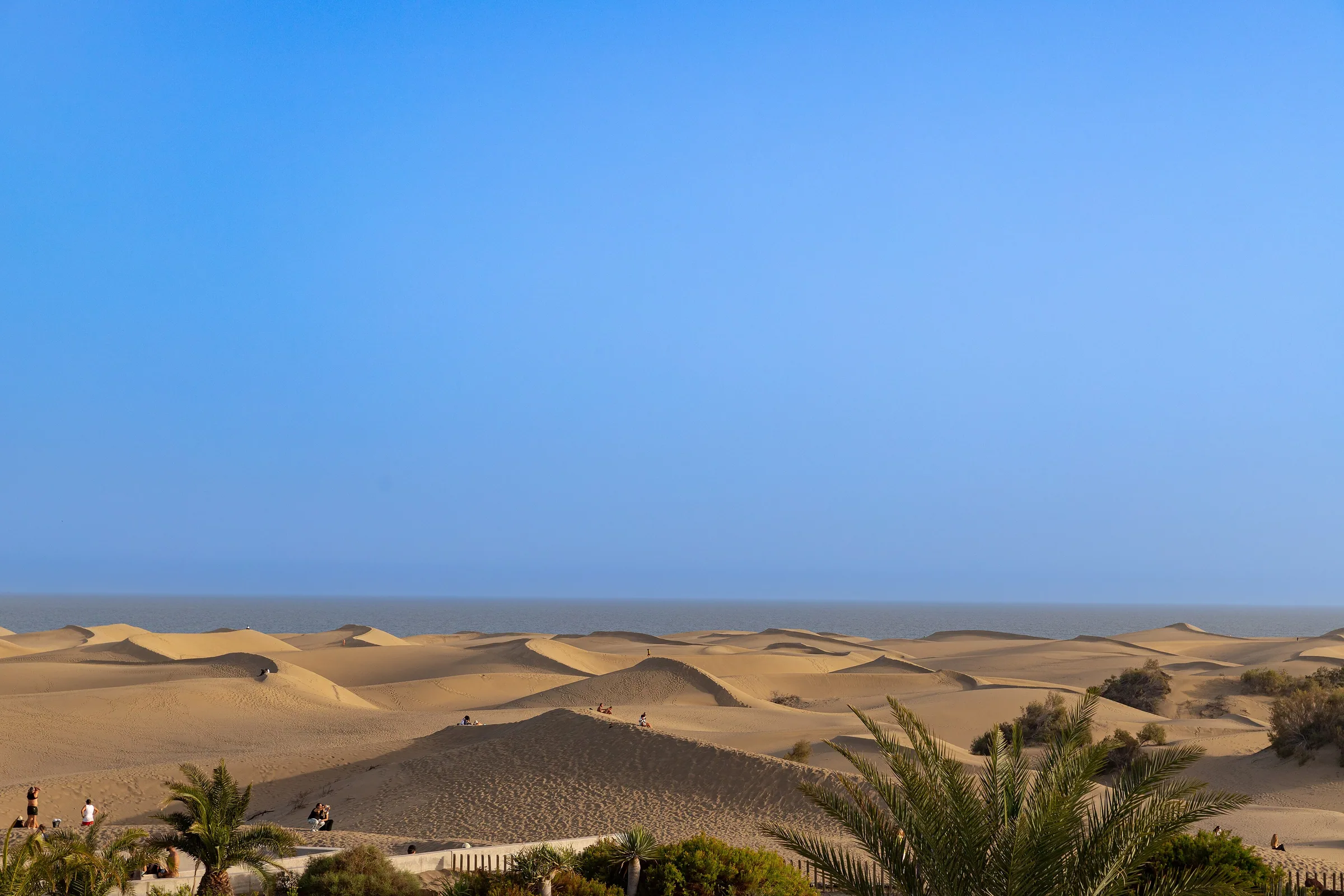
Three landscapes in one. By the shore, embryonic dunes the wind builds and flattens, with little more than sea spurge and sand sedge clinging to the sand. Inland, the grey dunes that the balancón shrub (Traganum moquinii) pins down with its branches and roots: it is the keystone plant of the system, which is why it is being replanted. In the south-west corner lies the Charca de Maspalomas, a lagoon of about 4.3 hectares and a metre and a half deep on average, whose water swings from fresh to hypersaline with the seasons, ringed by tamarisks and palms and watched from a bird hide on its western bank. Herons, egrets, sanderlings and coots are regulars; with luck, an osprey.
When to go
At dawn and in the last hour of the afternoon the sand throws long shadows and the temperature is kind; the Cabildo's own leaflet advises avoiding the middle of the day, since the trails are short but tiring on loose sand. Sunset is the busiest moment, so if you want quiet, get up early. Bring water, a hat and shoes that stay on: the sand burns.
The trails
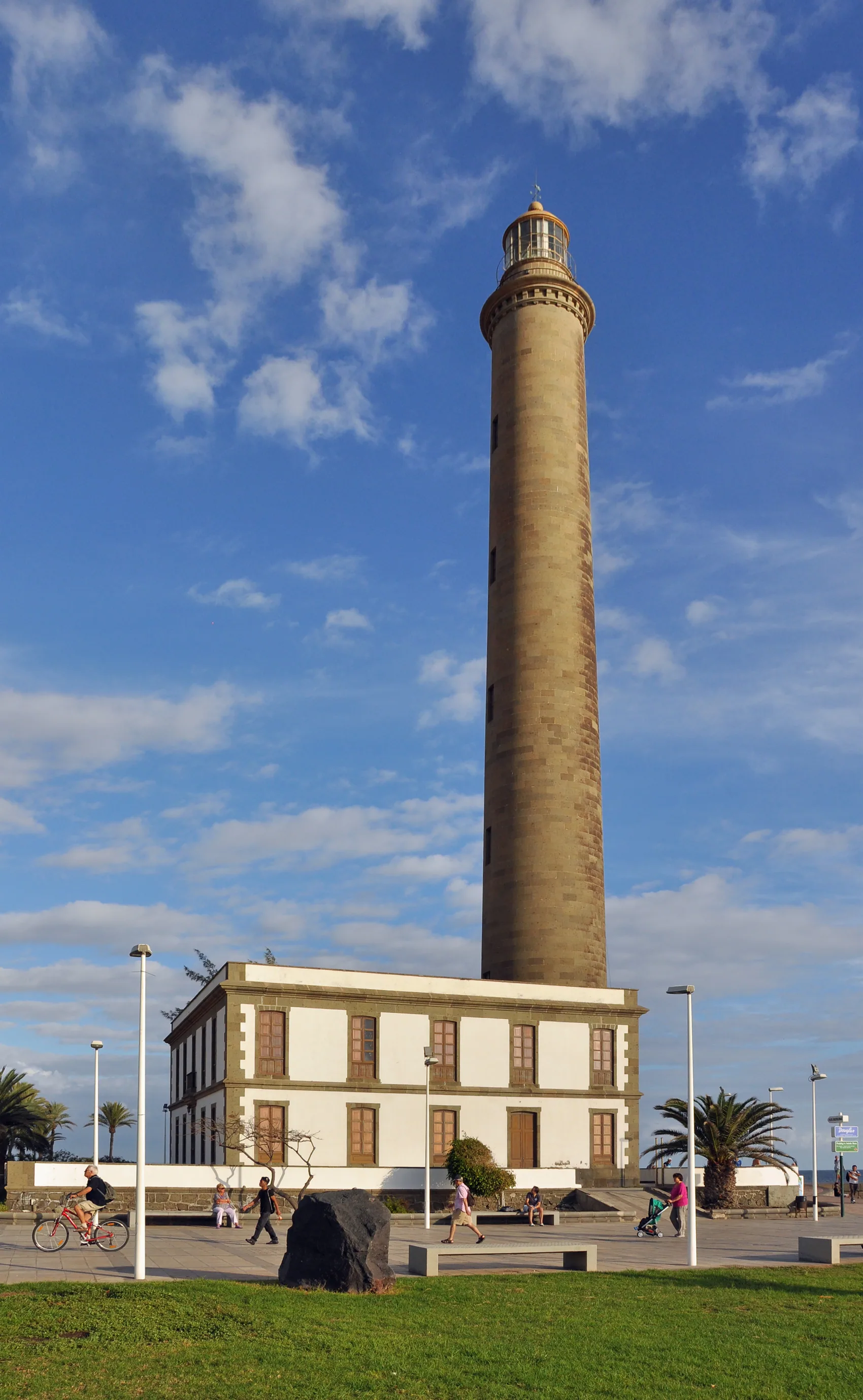
The official network has three waymarked routes, all gentle. Trail 1 (2.3 km) links the Parque Reserva Tony Gallardo with the Mirador de las Dunas across the stabilised dunes. Trail 2 (1.7 km) crosses dunes at different stages of evolution among tamarisks. Trail 3 (2.3 km on its 3A branch) leaves the Mirador de las Dunas and drops to the Charca and the bird hide; branch 3B (1.5 km) skirts the maximum-protection zone back to the Tony Gallardo park. The two beach accesses are at the ends: beside the Charca, on the lighthouse side, and at Playa del Inglés.
Tips
- Keep to the waymarked trails and the shoreline: leaving them erodes the dune field and is not allowed.
- Your rubbish leaves with you; a can or a bottle is a death trap for darkling beetles and small lizards.
- No stone or driftwood shelters and no cairns: they alter the landscape and destroy the fossil sandbars.
- Take your photos from the shore or the viewpoint: your footprints are not part of the landscape.
- Pets are not allowed in the reserve, and feral cats are not to be fed.